



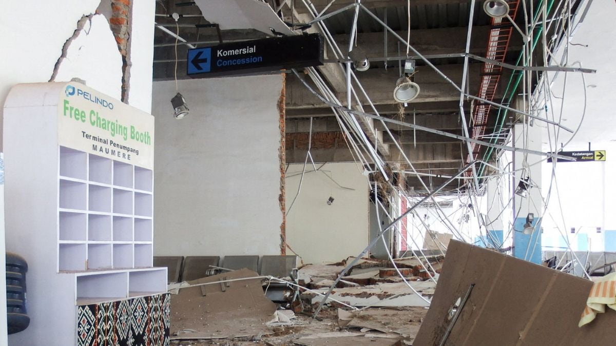
The death toll of the Saturday morning earthquake in the Flores Sea, in eastern Indonesia, has risen to 38.
According to the Meteorology, Climatology, and Geophysics Agency (BMKG) about 235 aftershocks in the NTT region till afternoon local time. The earthquake occurred at around 5 am local time.
According to the agency head, Teuku Faisal Fathani, “There have been 235 aftershocks ranging in magnitude from 2.5 to 6.8. They are mainly located in the northern part of Flores Island."
Fathani said that the aftershock activity generally decays gradually, a process that can last for around 2-3 weeks, “as is the pattern of previous destructive earthquake recordings in North Maluku."
According to Indonesia’s National Disaster Management Agency, about 38 deaths were recorded in the country as of 3 pm local time. Two people were seriously injured, 11 suffered minor injuries, and approximately 2,000 people evacuated independently, according to the agency.
The earthquake that rocked eastern Indonesia on Saturday morning had a magnitude of 7.7. The earthquake occurred at a shallow depth of 15 kilometres, about 30 kilometres from Mbay, the capital city of Nagekeo in East Nusa Tenggara.
Small tsunami waves less than 1 meter high were detected at several points before the disaster management agency finally lifted the tsunami early warning about three hours after the main shock.
Faisal said that the earthquake occurred due to the activity of the Flores Back Arc Thrust. In 1992, a magnitude 7.8 earthquake struck the area at a depth of 28 kilometres.
The earthquake’s epicentre Nageko Regency has been completely cut off. Land routes have been blocked by landslide debris, and communications are down. Rescue teams are using ferries to reach the site.
The areas that were hit by the earthquake are collectively known as Floratama, consisting of the tourist destinations Flores, Alor, Lembata and Bima.
A total of 986 tourists were stranded for some time on Padar Island due to the temporary closure of shipping. They were transported safely back to Labuan Bajo after shipping was restored.
The BMKG is coordinating a team of experts to manage microzonation and macroanalysis mapping surveys on soil types. The survey is reportedly intended to provide a reference for reconstruction and retrofitting for earthquake-resistant building structures.