



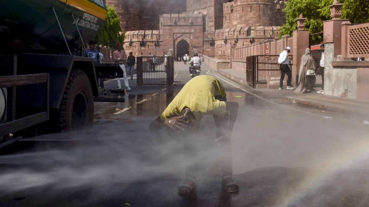
India's weather is set to shift again, with several regions experiencing a dry spell following a period of heavy monsoon showers.
According to weather experts, a dry phase is likely to hit large parts of the country, bringing sunny skies and sweltering heat.
As per the India Meteorological Department (IMD), India has just seen nine straight days of above-average rainfall.
Over 100 mm of rain was recorded in 24 hours in Delhi, causing waterlogging, traffic jams, and uprooted trees.
In Mumbai, the monsoon, though it arrived late, wreaked havoc in many areas with flash floods and trees falling, claiming lives.
IMD forecast light rain on Saturday in Mumbai, Thane and Palghar. The Mumbai local trains are functional, and waters in low-lying regions have receded, with road travel smooth.
However, the rail connectivity is still disrupted along the Mumbai-Pune corridor. Central Railways has cancelled 30 long-distance and intercity trains following landslides on the Bhor Ghat section.
Heavy, torrential downpours on July 6 triggered multiple landslides between Karjat and Lonavala stations, severely damaging all three railway lines.
Experts note that as of Friday, the monsoon has begun shifting toward the Himalayan foothills. As the belt shifts, it will let dry winds from the west move deep into the country for the next 5-7 days.
Places likely to see little or no rain include Delhi, Haryana, Punjab, Rajasthan, Gujarat, Maharashtra, Madhya Pradesh, Chhattisgarh, and Telangana.
These areas can expect mostly dry weather and very humid, uncomfortable conditions with feels-like temperatures hitting 45-50 degrees Celsius due to the heat and moisture combination in the air.
Meanwhile, states including Uttarakhand, Himachal Pradesh, Bihar, West Bengal, Sikkim, and the Northeast, will continue to get heavy to very heavy rains.
Though a short break is normal in monsoon season, its early arrival in mid-July raises concerns for newly planted kharif crops like rice that need steady moisture.