



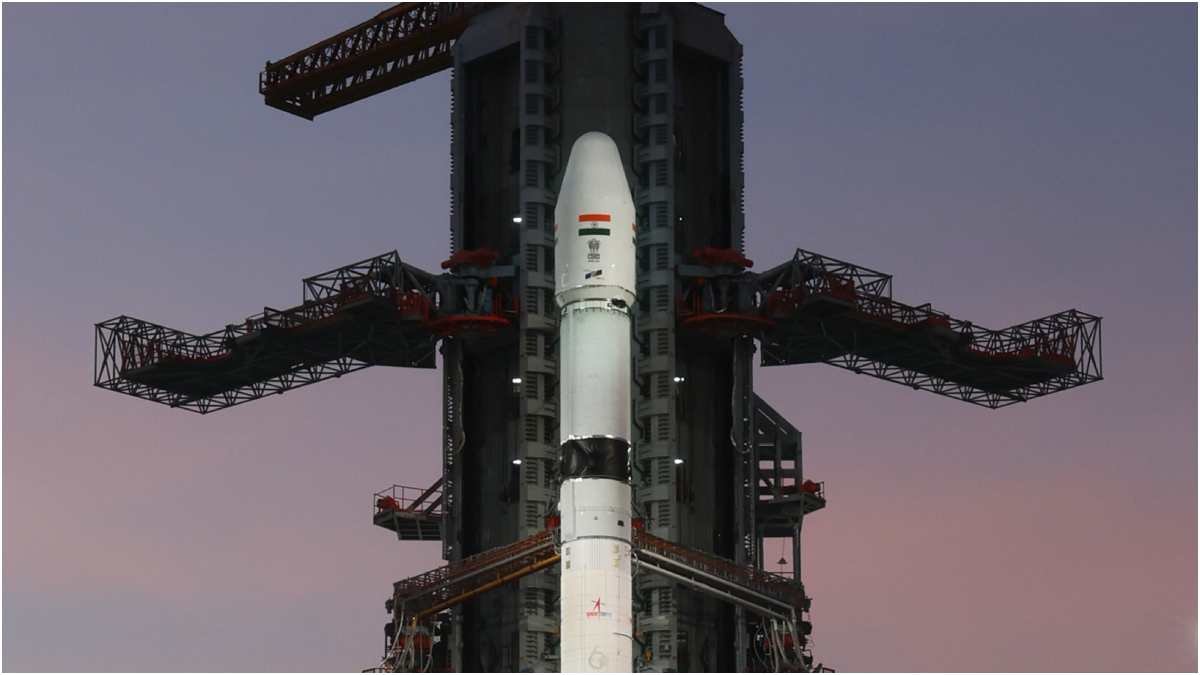
Global Navigation Satellite Systems (GNSS) are an essential part of daily life globally. GPS, the US-based positioning service, remains the most used positioning service worldwide, including in India. Navigation with Indian Constellation (NavIC) is the Indian positioning, timing, and navigation service. On July 29, the Department of Space informed the Lok Sabha that NavIC is down to three functional satellites, after IRNSS-1F reached the end of its ten-year mission life. A minimum of four satellites are needed for standalone positioning, so NavIC’s functioning is presently constrained. While civil commercial subscribers can fall back on globally available services, strategic users are, for now, leaning on a multi-constellation mix that includes foreign GNSS systems to cover the gap. Two replacement satellites are in the pipeline, but that only repeats the same architecture and the same fragility: lose one satellite, and the whole system can slip below its operating threshold again. That is the real story here, and it lands at a moment when the rest of the world has already moved to the next layer of navigation infrastructure: Low Earth Orbit (LEO) based Positioning, Navigation, and Timing (PNT), or LEO-PNT. The space sector is expanding globally at a frantic pace, and India too has taken suitable initiatives, but clarity on GNSS is yet to emerge.
The US Space Force ended its government-run Resilient GPS programme this year – not because the requirement went away, but as a deliberate pivot to buying PNT as a service from commercial LEO operators. Xona Space Systems, whose Pulsar constellation promises stronger signals, centimetre-level accuracy, and jam resistance, has raised fresh funding and added satellites this year, with military and commercial users already testing it. Congress has openly criticised the Pentagon for moving too slowly on creating resilient GNSS, given that GPS jamming is now common, especially in conflict zones.
China's efforts are the most alarming of all, and they sit right on India's border. BeiDou has grown into a roughly 50-satellite constellation with global coverage. As per reports, in 2026 China began a fleet-wide in-orbit upgrade to further sharpen its accuracy and resilience, with a 2035 roadmap to turn it into a fully integrated, intelligent PNT system. Pakistan's armed forces are also steadily migrating onto that very constellation: JF-17 fighters, the RA'AD-II cruise missile, warships, and submarines are all reported to run on BeiDou under Islamabad's defence partnership with Beijing, wiring a large stretch of India's western border to a satellite network Delhi has no control over. On top of that, China's Shijian satellite series has already demonstrated co-orbital maneuvers that US assessments flag as dual-use for electronic warfare, and its CentiSpace program alone has already launched 16 satellites toward a planned constellation of up to 190 for GNSS augmentation, while Geely's Geespace has separately put 25 satellites into orbit as part of a 240-satellite build-out, underlining just how much capacity Beijing is stacking into low orbit. That scale, combined with China's demonstrated co-orbital maneuvering, means jamming, spoofing, or mimicking GPS-type signals directly from orbit is no longer theoretical. Closer home, the effects are already visible: government data shows over 465 GPS jamming and spoofing incidents along the India-Pakistan border between late 2023 and early 2025 alone, affecting Amritsar, Jammu, and even Delhi's own airspace. Europe, by contrast, already has its first two Celeste LEO-PNT satellites in orbit since March 2026, transmitting test signals alongside Galileo, with a ten-satellite constellation due to be placed in orbit by 2027.
The logic is the same everywhere: every major power now treats legacy GNSS (GPS, Galileo, BeiDou, NavIC) as necessary but no longer enough to stand on alone, and each is actively shifting its navigation strategy toward Low Earth Orbit as the next generation of positioning infrastructure. The LEO layer, sitting closer to Earth, is being built globally as the new backbone nations are transitioning toward, creating another layer to support the constellations they already depend on.
The satellite that just fell silent is a warning shot. India needs to build GNSS capacity on a war footing in all orbital heights, since each orbit provides specific advantages. India should go all out to put NavIC back in place while simultaneously using the opportunity to build layered resilience, since in the LEO-PNT race, globally everyone is at the starting line. India cannot afford to miss this opportunity.
(Maj Gen Charandeep Pannu, is a veteran with 36 and a half years of commissioned service. The officer is an Air Defence, Space and Info Warfare specialist.)