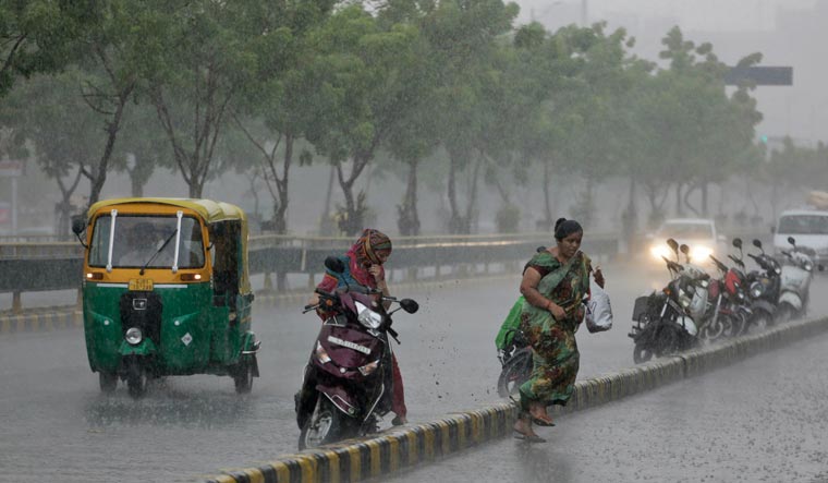
Cyclone Vayu is likely to turn into a depression and reach the north Gujarat coast on June 17 evening, the India Meteorological Department (IMD) said on Saturday.
The intensity of depression and deep depression is much less. They bring a good amount of rain with reduced wind intensity.
also read
- Gujarati couple renounces Rs 200 Cr wealth to embrace monkhood, to survive on alms
- Weeks after namaz row, Gujarat varsity asks 7 foreign students to vacate hostel for overstaying
- 'Nothing bigger than self-respect': BJP MLA resigns from Gujarat Assembly
- 18 Hindu refugees from Pakistan given Indian citizenship in Ahmedabad
- Mob vandalises Gujarat varsity, attacks foreign students for offering namaz
"The system is very likely to move nearly westwards during next 24 hours with gradual weakening and recurve northeastwards thereafter and cross north Gujarat coast as a depression by the evening of June 17," the IMD said.
Cyclone Vayu was to hit the Gujarat coast on June 13 morning, but it recurved on the night of June 12 and skirted the Gir, Somnath and Probandar. It is currently moving away from the Gujarat coast, but it will recurve again from Sunday.
Vayu is still a "very severe cyclonic storm", but it is expected to become a "severe cyclonic storm" and then a "cyclonic storm" on Sunday. By Monday, it is expected to become a deep depression and then a depression.
Depression is the first stage of formation of a cyclone. Depression intensifies into a deep depression, then a cyclonic storm, a severe cyclonic storm and a very severe cyclonic storm. As the intensity of a storm reduces, the sequences reverses.
The IMD said wind speed ranging from 100-110 kilometres per hour to 125 kilometres per hour is very likely over the northeast Arabian Sea and adjoining areas of northwest and central Arabian Sea.
"Strong wind speed of the order of 40-50 kilometres per hour gusting to 60 kilometres per hour very likely along and off Gujarat coast," it said.


