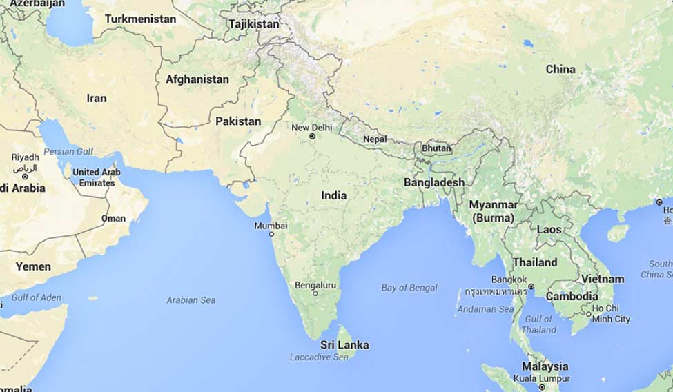
Till not too long ago, maps were static. The only time they were redrawn was when countries split or new states were carved. But even as mapping has become dynamic now, the future promises to be something that was never imagined, when the first cartographers drew two dimensional sketches on parchment.
"Three dimensional 360 degrees views with near real time imaging. In fact a digital twin of the real world, that is the future of mapping," said Rohan Verma, chief technical officer of MapmyIndia, the country's largest private mapping company. The satellite imagery on maps today give some idea of height, but as map making becomes ultra local, modern day cartographers are now measuring and mapping tall buildings in cities, as well as the narrowest of bylanes and service lanes. Your maps are also going to get a lot more interactive than the lady with the foreign accent whose voice guides your through your navigational manoeuvres. There are several start-ups like Reverie Language Technologies which are working at localising content, with the aim of providing map and navigational information in local languages and regional scripts.
Indeed, as mapping becomes less of a geographical exercise and more of an aid for the Internet of Things, even the survey of India, the official mapmaker of the country, has declassified a huge chunk of maps. The survey, which is celebrating its 250th year, is also working towards more definite three dimensional mapping, using the geoid technology, as well as GPS data to estimate heights. The ministry of science and technology also recently released a braille enabled atlas.
'Map in India' seems to be the mantra these days, as the government realises that foreign mapping systems do not seem bound to Indian regulations regarding boundaries. But unless there is a viable alternative, the user will rely on the freely available maps. In fact, even the government has had to use Google maps, because access to Indian maps was such a difficult process, wound as they were in red tape. Minister for science and technology Harshavardhan asked the survey of India last year to declassify maps, saying that anything that is made with public funding should be freely available to the public.
Today, India generates its own satellite data with Indian Space Research Organisation satellites. In fact, ISRO's Bhuvan maps are also freely available. MapmyIndia uses satellite data from Bhuvan. "The government too prefers our maps. We provide map data for several government programmes," said Verma. "As an Indian company, we maintain the integrity of the boundaries, we adhere to the government restrictions on mapping vulnerable assets and vulnerable places, which they do not want depicted on maps."


